Watch the rides / Cuyahoga Valley
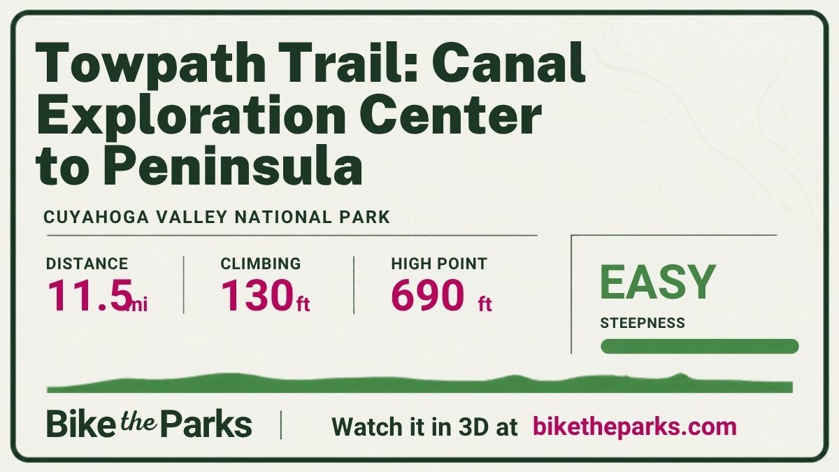
Towpath Trail: Canal Exploration Center to Peninsula
Flat, car-free riding along the old Ohio & Erie Canal, past locks, wetlands and villages.
- Easy (under 3%)
- Moderate (3–6%)
- Hard (6–9%)
- Very steep (9% and up)
Ride it at home
Pair a smart trainer and ride this route from home. The resistance follows the climbs, the dot moves at your speed, and the park's warnings pop up as you reach them.
This browser can't connect to a trainer. Open this page in Chrome or Edge on a computer or an Android phone, or download the course for your bike computer.
Difficulty sets how steep the climbs feel on the trainer: 100% is the real grade. Your speed on the map always uses the real grade and your weight.
- Power
- – W
- Cadence
- – rpm
- Speed
- – mph
- Heart rate
- – bpm
- Time
- 0:00
- Distance
- 0.0 of 11.5 mi
Watch-outs on this ride
Numbered on the map and the profile. Park notes come from Cuyahoga Valley's own NPS pages; steep sections are measured from the elevation data.
-
Shared trail
Shared with walkers, runners, dog walkers and horseback riders: a speed limit and trail courtesy apply, and weekends are busy.
-
Train back (seasonal)
The Cuyahoga Valley Scenic Railroad runs a seasonal one-way bike shuttle from some trailheads; check its schedule.
Route traced on OpenStreetMap data (© OpenStreetMap contributors, ODbL); elevation from Mapzen/AWS Terrain Tiles. Grades are worked out over about 200 m from public elevation data and can be off by a percent or two, more on tight switchbacks. Check the Cuyahoga Valley guide and the park's own page for current rules and closures before you ride.
Share this ride
This card shows up when you post the link. Send it to whoever you're riding with.
More rides to watch
- Going-to-the-Sun Road to Logan PassGlacier, 21.2 mi, 3,560 ft up
- Old Fall River Road to Fall River PassRocky Mountain, 10.0 mi, 3,210 ft up
- Hermit Road to Hermits RestGrand Canyon, 4.7 mi, 80 ft up
- Zion Canyon Scenic DriveZion, 6.4 mi, 570 ft up
- Cades Cove Loop RoadGreat Smoky Mountains, 10.7 mi, 630 ft up
- Rim Drive around Crater LakeCrater Lake, 32.2 mi, 3,920 ft up